PILOT!
European DDM web map
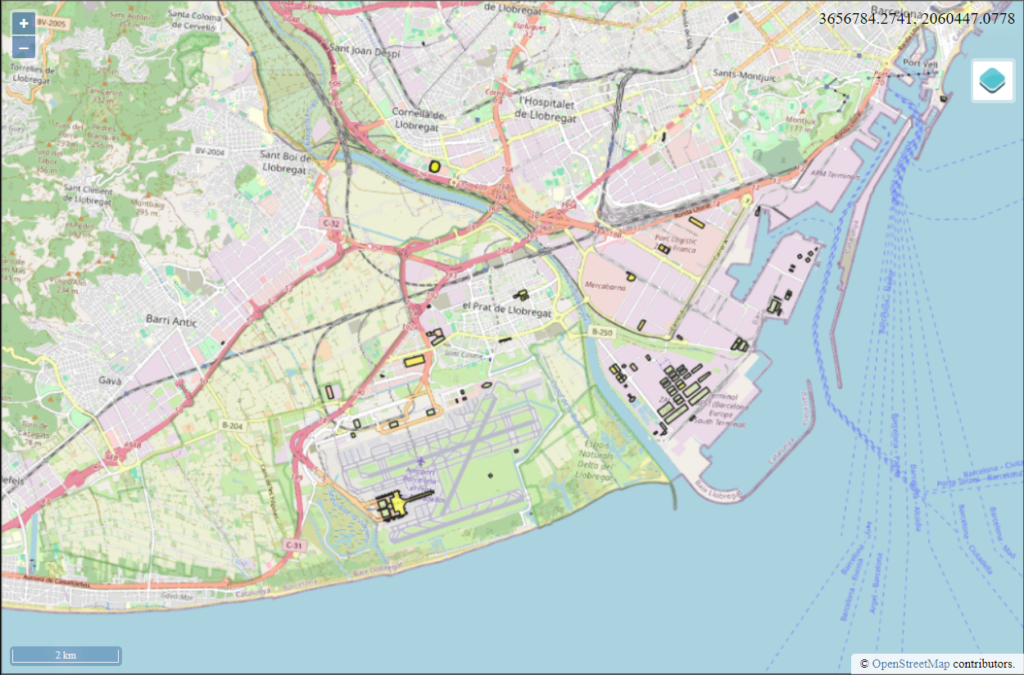
European DDM web map is an EGMS based free of charge service, which allows identifying buildings and urban structures that could potentially be vulnerable to damage due to deformations. It also allows computing the spatial gradients of displacement of these buildings, in order to access the impact a deformation may have on these buildings. The area covered currently is Catalonia, Spain only.
The buildings, which are subject to deformations, for which the gradient has been defined, are marked on the map by a colour.
Terms and Conditions applicable to data and products of the Copernicus Land Monitoring Service
The Copernicus component is governed by Regulation (EU) 2021/696 of the European Parliament and of the Council of 28 April 2021 establishing the Union Space Programme and the European Union Agency for the Space Programme and repealing Regulations (EU) No 912/2010, (EU) No 1285/2013 and (EU) No 377/2014 and Decision No 541/2014/EU. Within the Copernicus programme, a portfolio of land monitoring activities has been delegated by the European Union to the European Environment Agency (EEA) and the DG Joint Research Centre of the European Commission. The Copernicus land monitoring products and services are made available through this website on a principle of full, open and free access, as established by the Commission Delegated Regulation (EU) No 1159/2013 of 12 July 2013.
The countries, which are covered by the service, are the countries who contribute to Copernicus program: Austria, Belgium, Bulgaria, Croatia, Cyprus, Czech Republic, Denmark, Estonia, Finland, France, Germany, Greece, Hungary, Iceland, Ireland, Italy, Latvia, Liechtenstein, Lithuania, Luxembourg, Malta, Netherlands, Norway, Poland, Portugal, Romania, Slovakia, Slovenia, Spain, Sweden, Switzerland and United Kingdom.